Log in
All resources
Create a design
36 Free Images of Old Maps Of Aragon
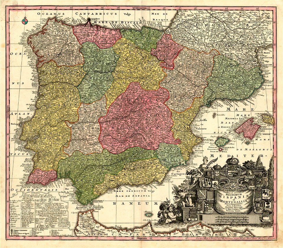
joan blaeu
1667 maps
1660s maps of spain
atlas maior, vol 10 (spain and africa) - joan blaeu, 1667 - bl 114.h(star).10
copper engraving print
british library
bibliothèque nationale de france
1765 maps of spain
maps of spain by tomas lopez
history
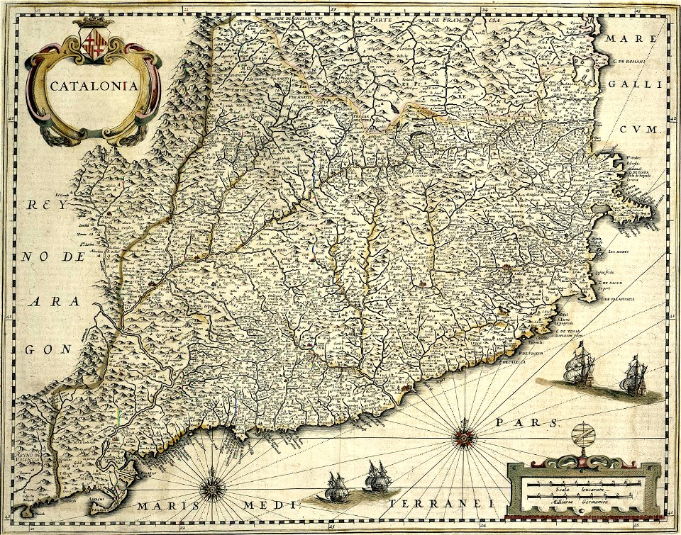
coats of arms of the crown of aragon
coats of arms on maps
maps made in the 17th century
gerard valck
maps with cartouches
atlas van der hagen
maps by willem and johannes blaeu
spain in the 17th century
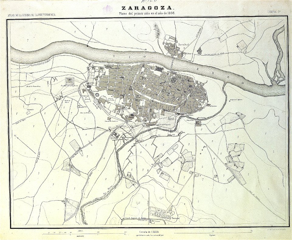
sitio de zaragoza (1808)
1868
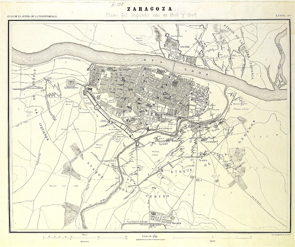
second siege of zaragoza
1868
spain in the 1640s
1640
16th-century maps of the iberian peninsula
16th-century maps of spain
coats of arms of the kingdom of navarre
pales of aragon in heraldry
maps of the crown of aragon
old maps of medieval iberia
coats of arms of the kingdom of navarre
coats of arms of the crown of aragon
maps of spain by tomas lopez
1765 maps of spain
maps of spain by tomas lopez
1765 maps of spain
maps of spain by tomas lopez
1765 maps of spain
maps of spain by tomas lopez
1765 maps of spain
maps of spain by tomas lopez
1765 maps of spain
maps of spain by tomas lopez
1765 maps of spain
1660s maps of spain
1667 maps
1660s maps of spain
1667 maps
1660s maps of spain
1667 maps
1660s maps of spain
1667 maps
1660s maps of spain
1667 maps
1660s maps of spain
1667 maps
1660s maps of spain
1667 maps
1660s maps of spain
1667 maps
1660s maps of spain
1667 maps
1660s maps of spain
1667 maps
atlas geographico del reyno de españa e islas adjacentes (1757)
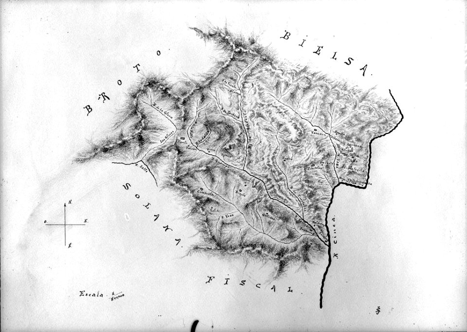
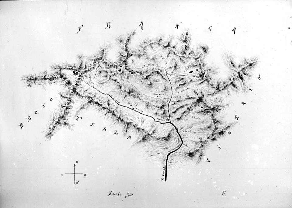
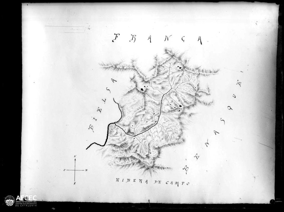
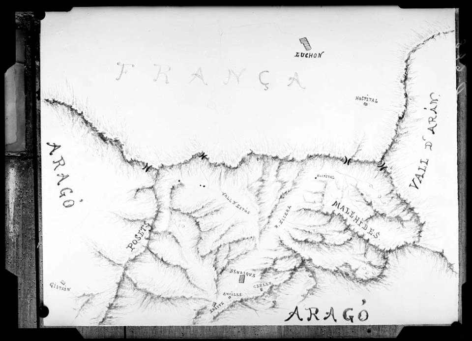
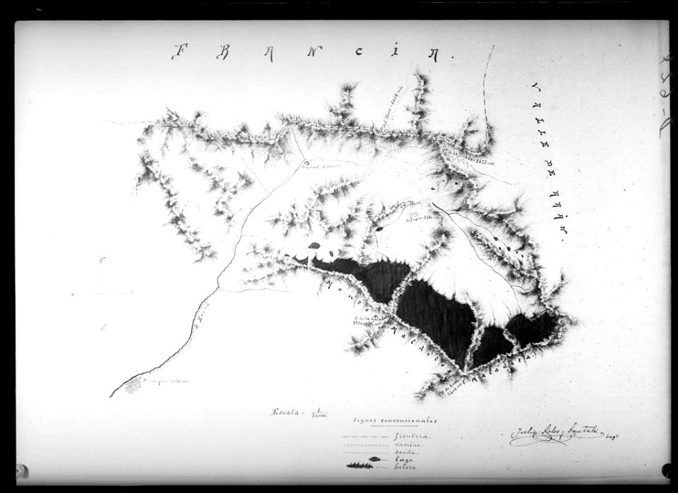
old maps of aragon
atlas geographico del reyno de españa e islas adjacentes (1757)
old maps of aragon
14th-century illuminated manuscripts from spain
jong (ship)
14th-century illuminated manuscripts from spain
jong (ship)
historical
history
historical
history
historical
history
historical
history
historical
history
1 - 36 of 36
/ 1